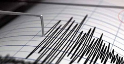
Iraq sees around 7 daily tremors; seismic activity noted near Iranian border
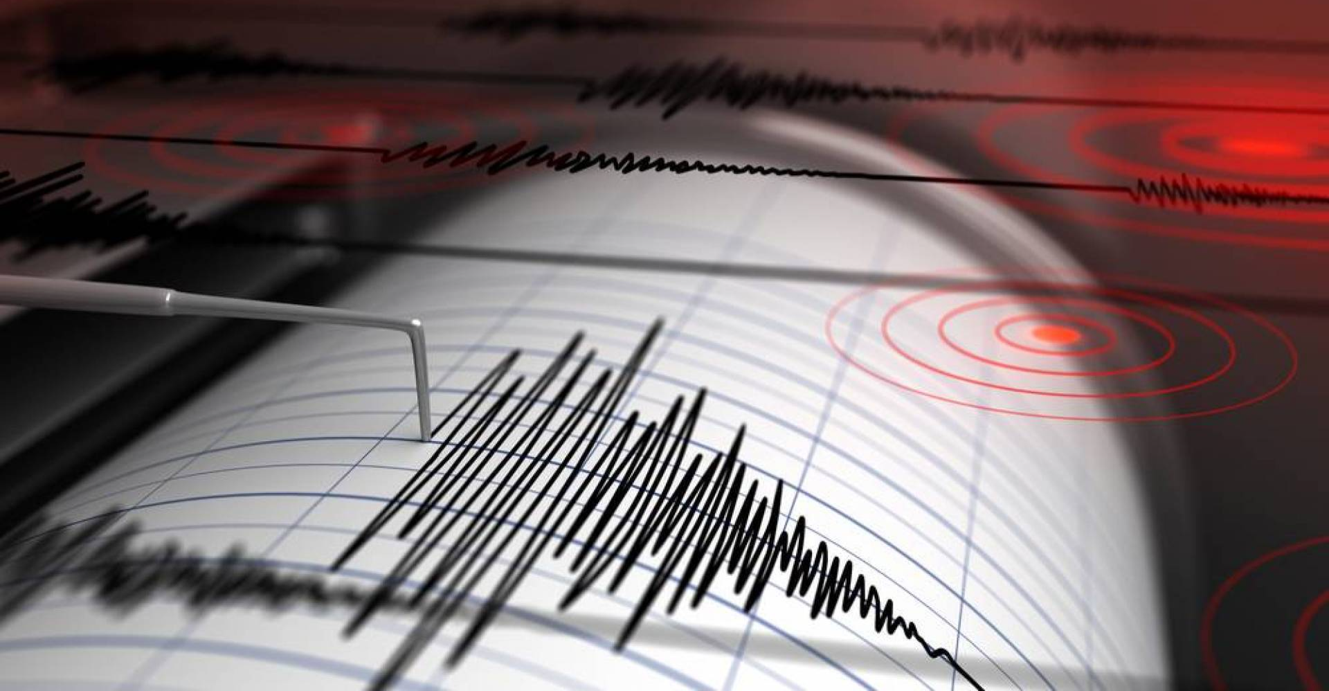


Shafaq News/ On Monday, Iraq's General Authority for Meteorology and Seismological Monitoring announced that the country records around seven tremors daily, noting that the tremor recorded earlier near the Iranian border was "minor."
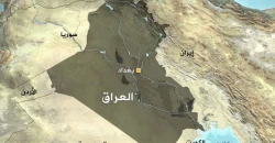
Earlier today, seismological observatories recorded a tremor 22 km south of Khanaqin in Iraq's Diyala, near the Iranian border, strongly felt in Kirkuk and surrounding provinces. Meanwhile, the Iranian Seismological Center categorized the event as a "5.1 magnitude earthquake" on the Richter scale, with a depth of 8 kilometers. Local authorities confirmed no casualties or damage.
Ali Abdulkhaliq, Director of the Seismological Monitoring Department, told Shafaq News, "Today's tremor had a magnitude of approximately 5 in Iranian territory, specifically in Qasr-e Shirin, while its magnitude within Iraq was recorded at 4.8, as registered by precise monitoring equipment."
"The Halabja, Kalar, and Khanaqin triangle has become seismically active since a strong tremor in Halabja, Kurdistan Region, in 2017, which caused shifts in fault lines, turning the area into an active seismic zone," he added.
Iraq's observatories, he confirmed, record between one and seven tremors daily, with magnitudes ranging from 1 to 2 on the Richter scale, along with a weekly tremor of approximately 3, which is noticeable but not strong enough to cause damage.
Iraq, according to the expert, is located on the Arabian Plate, which intersects with the Turkish (Anatolian) and Iranian plates along the border areas of the three countries. “Seismic activity is concentrated along the Zagros Mountains in northeastern Iraq, where tectonic fault movements cause the Arabian Plate to collide with the Anatolian and Iranian plates, triggering tremors," he explained.